blah blah blah
Mt. Whiteface
Length: 8.4 miles out-and-backDifficulty (click for info): Very Hard
Elevation Gain: 2850 feet
Rating (click for info): 8/10
Elevation: 4020'
Prominence: 600'
Driving Directions:
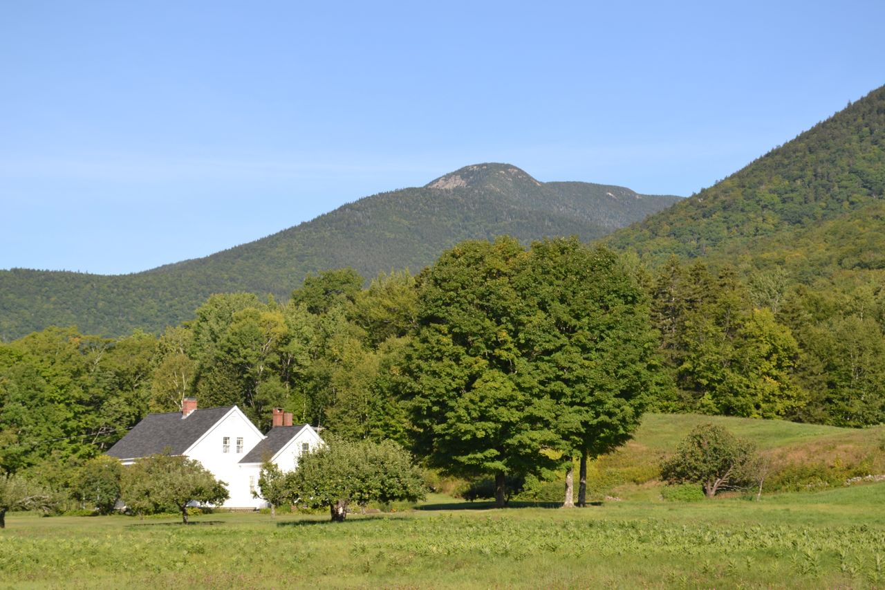
Trailhead and parking area are on Ferncroft Road in Albany, NH (summit is in Waterville Valley). Ferncroft Road leaves Rt. 113A at a sharp curve in the road, 6.7 miles north of its western junction with Rt. 113 and 6.5 miles north of its eastern junction with Rt. 113. The large dirt parking area is half a mile down Ferncroft Road, on the right.
About the Hike:
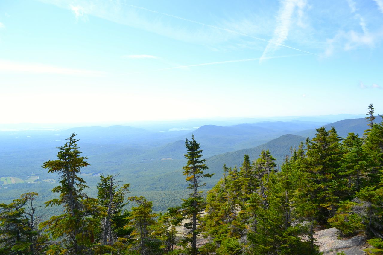
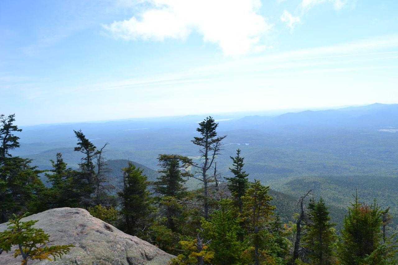
Standing in the center of the Sandwich Range, Mt. Whiteface is one of the shortest White Mountain 4000-footers. The open ledges on its south peak provide fabulous views into the Lakes Region and across the great cirque known as The Bowl. It is popular for its distant views of Lake Winnipesaukee and Squam Lake. Although fir trees restrict views from the south summit, unblocked views in the same and other directions may be obtained from various viewpoints on the trailside ledges. They are best reached by the rugged Blueberry Ledge Trail, a climb which involves several difficult ledge scrambles. Blueberry Ledge Trail starts from a parking area in a picturesque place called Ferncroft.
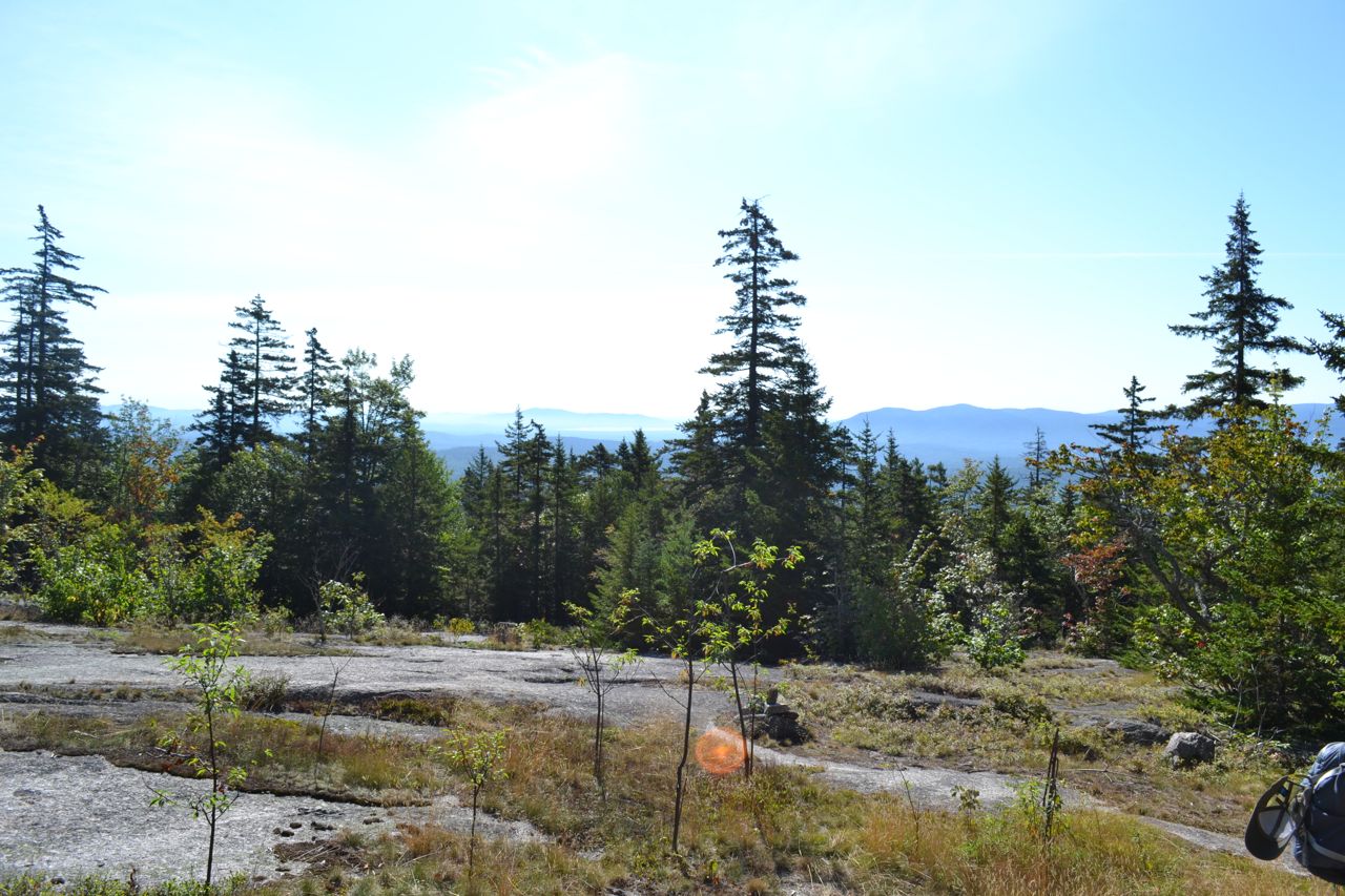
From the parking area, walk out to the road and follow it for 0.3 miles (to the north - opposite the direction you drove in from) and turn left (marked with trail signs), crossing a bridge. Stay right at the end of the bridge, then avoid two driveways on the right. Just after the second driveway, continue straight into the woods, staying on Blueberry Ledge Trail where Pasture Path goes left. In a short distance, stay straight again where Blueberry Ledge Cutoff goes right. Continue another 0.3 miles, then continue straight where McCrillis Path leads to the left. It now begins a gradual, winding ascent, leading to the Blueberry Ledges in 0.7 miles, and travels over them for the next 0.4 miles. From the highest point, where Blueberry Ledges Cutoff enters from the right, there are restricted views of the Osipee Range. The trail continues to climb easily for about half a mile before the steep ascent begins. After another half a mile, this time over much rougher and steeper terrain, the trail reaches the top of a ridge, where it flattens out for a short distance and meets Tom Wiggin Trail, on the right. It resumes its climbing at the end of the ridge and ascends 0.4 miles to the first viewpoint, a very narrow south-facing ledge - use caution. From here, there are views across the edge of the Sandwich Range to double-peaked Sandwich Dome and south to Lake Winipesaukee and the Belknaps (on the horizon). You can also see the open fields of Ferncroft near where you parked.
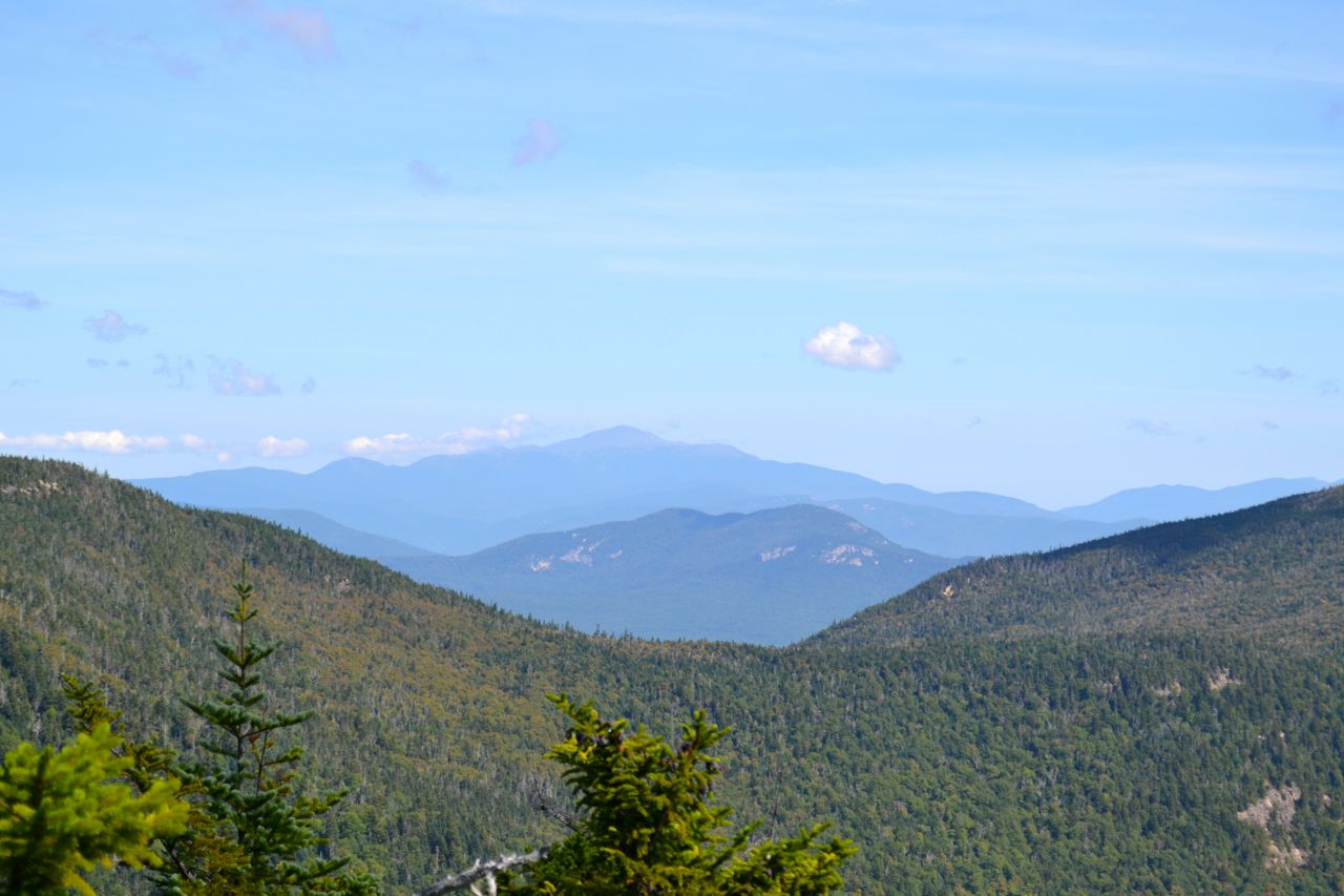
Now the most difficult part of the trail begins. Steep slabs and scrambles are part of the trail for the next 0.4 miles. You must use trees and rock handles to clamber up the ledges. Soon, you will see more viewpoints to the south and east. The finest ledge overlooks The Bowl and takes in Mts. Chocorua, Paugus, and Passaconaway - the three eastern peaks of the Sandwich Range - and Mt. Washington above Mt. Tremont.
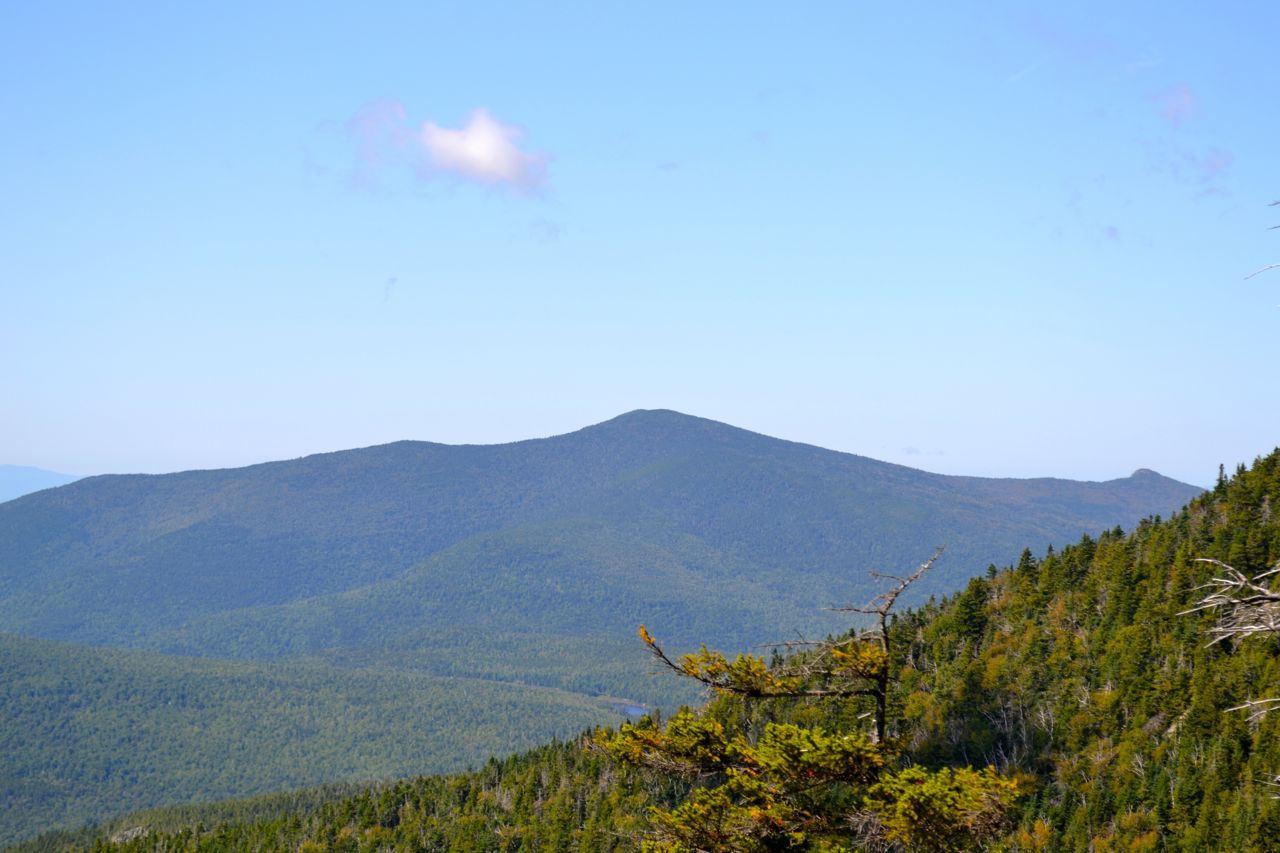
The ledges at the summit of Whiteface's south peak look directly south over the Lakes Region. The Osipee, Squam, and Belknap Ranges are seen around the lakes. Mt. Chocorua is visible through the trees, as is Sandwich Dome. To continue to the true summit, turn right onto Rollins Trail, descend to a junction with Kate Sleeper Trail on the left, then ascend 0.2 miles to the summit, which is viewless and marked only by a humble cairn.
Printable directions page